Friday,
October 26th - Comet SWAN Brightens
Unexpectedly...
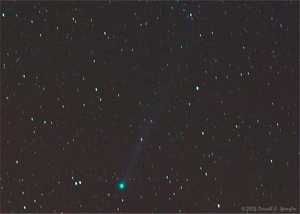
Comet C/2006 M4 SWAN brightened
unexpectedly a couple of days ago and is now
bright enough to see with the naked eye, in our
western skies just after sunset.
This recent brightening of Comet
SWAN is thought to possibly be due to a crack in
the coma (main body of the comet) exposing fresh
material to the solar wind.
SWAN is currently located in the
western sky near the constellation of Hercules (map).
Binoculars and backyard telescopes will reveal the
distinctive tail and the blue-green color of cyanogen
gas being released from the coma.
To see more photos of Comet SWAN
be sure to visit the Comet
SWAN Gallery at www.spaceweather.com.
For more photos of SWAN taken here on Storm
Mountain visit the Comet SWAN Page of local
photographer Darrell E. Spangler, via the link
provided below.
Thursday,
October 26th - Heavy Snow Falling Across Area...
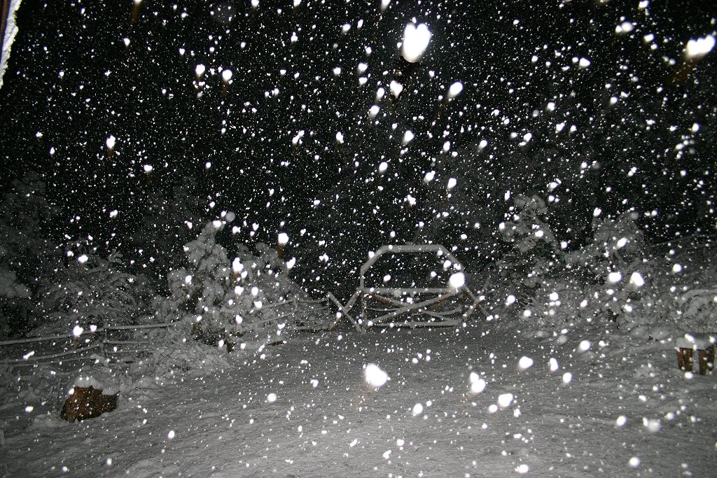
Heavy snow is currently falling
across most of the area with a Winter Storm
Warning
in effect until noon today. As of 5am, 6 to 8 inches of heavy wet snow has fallen at Storm
Mountain News near Drake.
Snow is expected to continue
through the morning with accumulations up to 20
inches possible in favored areas. Area roads are
snow-packed and any unnecessary travel is
discouraged. Chains and/or adequate snow tires are
strongly recommended on FDR 128 and other rural
roads. Residents are advised to use extreme
caution if driving and to allow plenty of extra
travel time.
Estes Park Schools are closed
today. We are awaiting information on Thompson
R2J Schools regarding any delay or closure.
The complete text of the official weather warning
currently in effect for our area can be found via the link
provided below.
Wednesday,
October 25th - Winter Storm Warning Issued...
The National Weather Service in
Denver has issued a Winter Storm Warning for the
front range mountains and foothills, including the
Drake, Glen Haven and Storm Mountain areas, in
effect from 9*pm Wednesday evening through noon on
Thursday.
RAIN AND SNOW
SHOWERS WILL DEVELOP IN THE FOOTHILLS THIS EVENING
AND CHANGE TO ALL SNOW BY 9 PM. THE SNOW WILL BE
HEAVY OVERNIGHT AND THURSDAY MORNING, WITH
ACCUMULATIONS OF 10 TO 18 INCHES. SOME LOCATIONS
IN THE FOOTHILLS OF JEFFERSON AND DOUGLAS COUNTIES
COULD SEE LOCALLY HEAVIER AMOUNTS.
REMEMBER, A
WINTER STORM WARNING MEANS HAZARDOUS WINTER
WEATHER CONDITIONS ARE IMMINENT OR HIGHLY LIKELY.
SIGNIFICANT SNOW ACCUMULATIONS ARE OCCURRING OR
EXPECTED. THIS WILL MAKE TRAVEL VERY HAZARDOUS OR
IMPOSSIBLE.
The complete text of this
official weather warning can be found via the link
provided below.
Wednesday,
October 25th - Winter Storm Watch Tonight...
The National Weather Service in
Denver has issued a Winter Storm Watch for the
front range mountains and foothills, including the
Drake, Glen Haven and Storm Mountain areas, in
effect from Wednesday evening through Thursday
morning.
A powerful winter storm will
spread heavy snow into the north-central
mountains, front range urban corridor and
northeastern plains tonight through Thursday
morning. Snow will be heaviest in the eastern
foothills with accumulations of 8 to 16 inches
possible.
All people planning travel
should be prepared for adverse winter driving
conditions. Snow and blowing snow may reduce
visibility at times. Many highways will become icy
and snow-packed. Chains and/or adequate snow tires
may be required on the high mountain passes,
including Interstate 70 west of Denver. All
motorists are urged to exercise caution.
The complete text of this
official weather watch can be found via the link
provided below.
Monday,
October 23rd - Early Voting Begins Today...
Early
voting for the General Election begins today at
five locations in Larimer County. Early voting
facilities will be open 8:00am-5:00pm weekdays
through Friday, November 3rd.
Be sure to take your driver's
license or other valid identification with you. If
you have moved and not changed your address, you
can change your address and vote at the same time.
Residents are encouraged to vote
early due to the length of the ballot and the
large voter turnout that is expected. Some are
also recommending that voters use a paper ballot
to assure that their vote counts and to avoid
potential problems with the faulty electronic
voting machines.
Below is location information on the five
voting centers in Larimer County:
Estes Park
Estes
Park Municipal Building
Room 202
170 MacGregor Avenue
Estes Park, CO 80517 Yahoo!
Maps to this location
Fort Collins
Larimer County Courthouse Offices
Room 152
200 W. Oak Street
Fort Collins, CO 80521 Map
to this location
Colorado State University
Lory Student Center
Art Lounge
Fort Collins, CO 80523 Map
to this location
Harmony Market
1001 E Harmony Rd.
Fort Collins, CO 80525 Yahoo!
Maps to this location
Loveland
Loveland Police and Courts Building
Conference Room
810 E. 10th Street
Loveland, CO 80537 Yahoo!
Maps to this location
Listen to this article
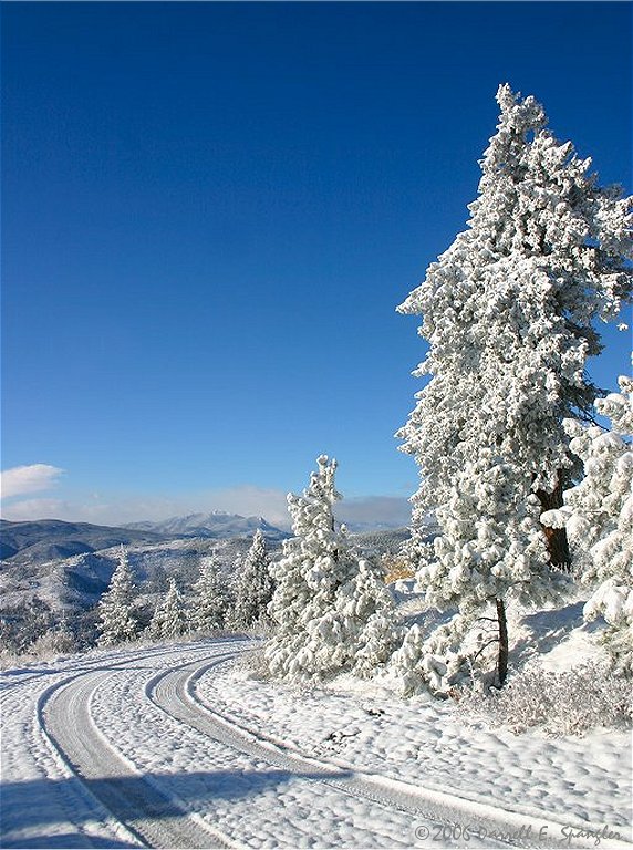
Beautiful scene along FDR 128
in Roosevelt National Forest


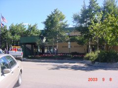 Estes
Park Municipal Building
Estes
Park Municipal Building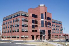 Larimer County Courthouse Offices
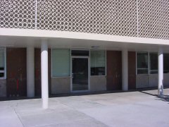 Colorado State University
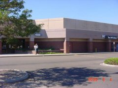 Harmony Market
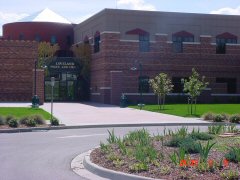 Loveland Police and Courts Building