|
|
|
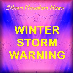
Winter Storm Warning
|
Tuesday,
October 27th
Winter
Storm Warning...
The National
Weather Service in Denver has issued a
Winter Storm Warning for northern Colorado,
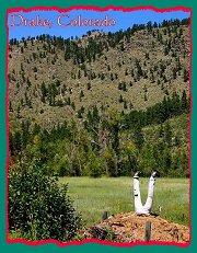
including the Drake, Glen Haven and Storm
Mountain areas, in effect from Midnight
tonight through 6pm on Thursday
night.
SNOW WILL DEVELOP
TONIGHT AND CONTINUE INTO THURSDAY. SNOW MAY
BECOME HEAVY AT TIMES FROM LATE TONIGHT THROUGH
WEDNESDAY NIGHT. SNOWFALL ACCUMULATIONS WILL RANGE
FROM 10 TO 18 INCHES WITH UP TO 2 FEET POSSIBLE IN
FAVORED UPSLOPE AREAS. GUSTY NORTH TO NORTHEAST
WINDS WILL PRODUCE AREAS OF BLOWING SNOW AND
REDUCED VISIBILITIES TONIGHT THROUGH THURSDAY.
PEOPLE PLANNING
TRAVEL ACROSS NORTHEAST AND NORTH CENTRAL COLORADO
SHOULD BE PREPARED FOR HAZARDOUS DRIVING
CONDITIONS. ROADS WILL BECOME SNOW COVERED BY
HEAVY SNOW AND BLOWING SNOW. CHAIN LAWS WILL
LIKELY BE REQUIRED OVER THE HIGHER MOUNTAIN PASSES
FOR SEMI- TRAILERS AND BUSES, AND ROADS CLOSURES
WILL BE POSSIBLE. TRAVEL WILL BECOME VERY
HAZARDOUS OR IMPOSSIBLE. IF YOU MUST TRAVEL
WEDNESDAY OR THURSDAY, TAKE ALONG A WINTER
SURVIVAL KIT.
The complete text of this
official weather advisory can be found via the
link provided below:
Winter
Storm Warning
|