__________________
Homeland Security
____________________
____________________


__________________
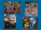
"The Storm Mountain Incident"
Pollution of our
National Forest Streams
(Requires
Free PowerPoint Viewer available here)
__________________

Contamination to Storm Mountain Properties
Click here for the facts!
__________________
__________________
![]()

![]()


__________________
![]()
__________________

Tuesday, November 30th - Prescribed Burn Wednesday, Thursday, and Friday... The Larimer County Parks and Open Lands Department staff will conduct slash pile burns on Wednesday, December 1; or Thursday, December 2; or Friday, December 3, 2004, at Horsetooth Mountain Park west of Fort Collins... The pile burns are part of an on-going wildfire mitigation/forest health project in the Park, involving mechanical thinning and hand piling tree limbs and dead material... The slash piles will be burned when there is at least 3 inches of snow on the ground to prevent fire spread... An interagency team of trained firefighters will conduct the burns in accordance to Larimer County Burn Permit Regulations... Smoke from the burning piles will be visible from Fort Collins, Loveland and along the Northern Front Range... Please do not call 911 or your local law enforcement, as they are already aware of burns... If you have any questions, please contact Mark Caughlan at (970) 498-5600... Pertussis Cases High In County... Unusually high numbers of cases of pertussis (whooping cough) have been reported in Larimer County in the past few months, according to the Larimer County Department of Health and Environment... To date, 79 cases have been reported in 2004. In the month of November, an average of one case per day has been reported... Most of the Larimer County cases have been in young people age 10 to 19... Statewide, nearly 850 cases of pertussis have been reported in Colorado, the highest in the past 50 years... The high numbers may be due in part to more accurate tests to confirm infection in adolescents and adults, better follow-up of cases, and a heightened awareness of pertussis in the medical community... There have been cases reported in most junior high and high schools in the Poudre School District this year, and more recently cases reported at Loveland High School in the Thompson School district... Pertussis is a bacterial infection that is spread by respiratory droplets and contact with respiratory secretions... Symptoms of pertussis usually develop 7 to 14 days after exposure (range 5 - 21 days)... The disease begins with cold-like symptoms (sneezing, runny nose, low grade or no fever, occasional cough)... The cough progressively becomes more severe until the person develops coughing fits (paroxysms)... Vomiting, breathlessness, a change in facial color, and/or a whooping sound may follow the coughing fits... Fever is absent or minimal. Pertussis infection in older children and adults tends to be less severe than in infants and typically does not have the characteristic whooping sound, but coughing may be so severe that vomiting occurs.. Pertussis may affect individuals of all ages... Adolescents and adults can become ill with pertussis and can transmit the disease to others... The illness can last from six to ten weeks... It is sometimes referred to as “the one hundred day cough.” The complete text of this County news release, including preventative measures, can be found by clicking below...
Monday, November 29th - Flu Shots For High-Risk Adults Begin Today... The Larimer County Department of Health and Environment announces that influenza (flu) shots will be available for high-risk adults beginning Monday, November 29 at the Health Department Walk-In Clinics at its offices in Fort Collins, Loveland and Estes Park... Shots for high risk children continue to be available at all locations as well... Children under 9 years of age who have received their flu shot for the first time need a booster shot at least one month after the first shot... Parents are encouraged to bring children needing the booster shot in at this time... Complete information is available by clicking below...
Avalanche Warning Lifted... The National Weather Service in Denver has extended an "Avalanche Warning" issued yesterday for our area. The Winter Weather Advisory for the front range has also been cancelled... No further accumulation is expected... Extreme cold is however expected throughout the area tonight with local temperatures dropping to near 0°F...
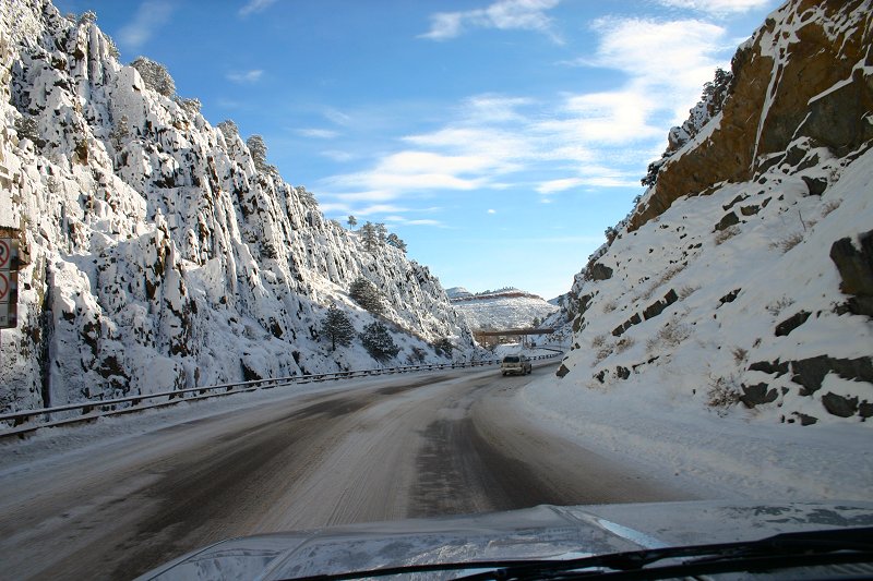
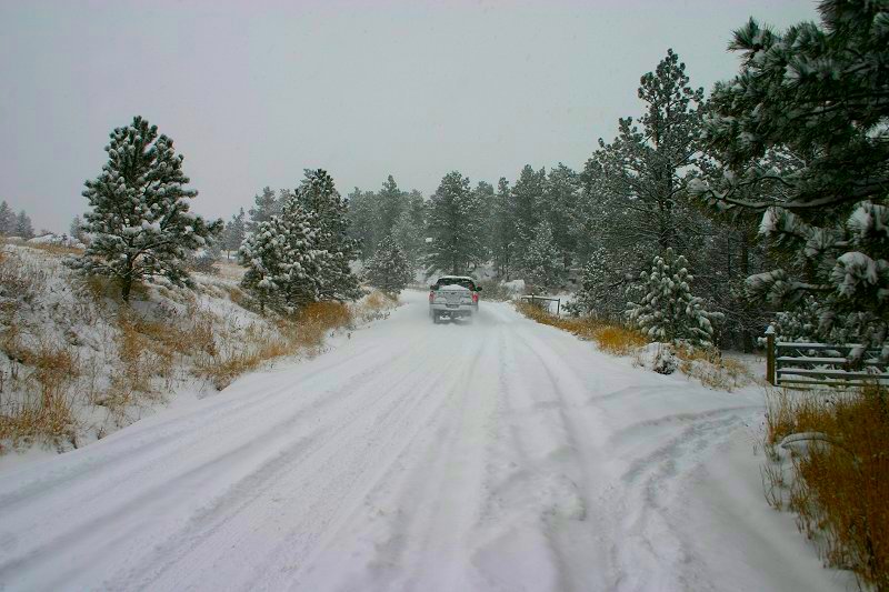
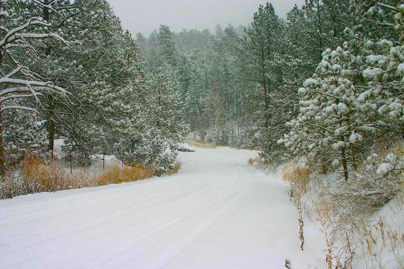
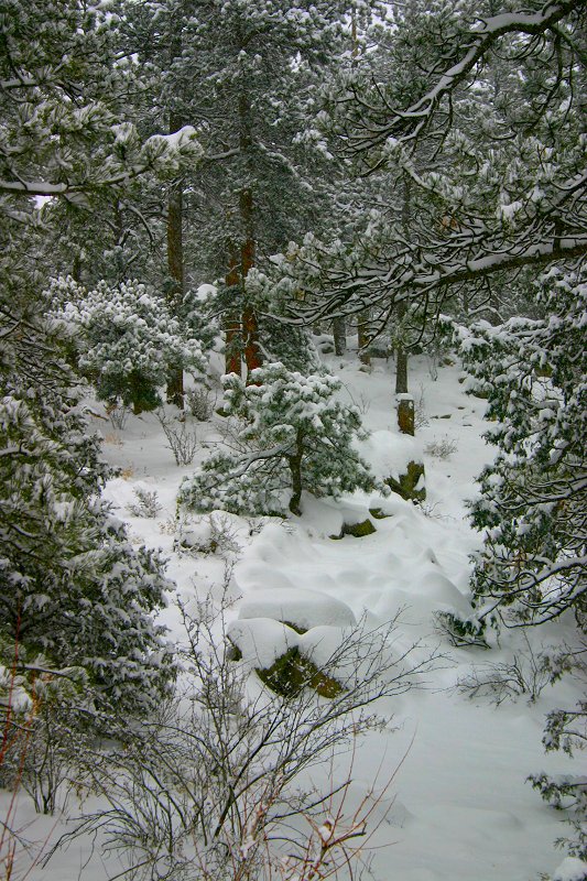
Sunday, November 28th - Icing Possible Tonight On FDR 128... In an effort to make the road more passable, road crew workers have removed the majority of snow from FDR 128 exposing the wet road surface to the extreme cold expected tonight... While plowing is a good idea in Spring snows where warmer air and sunlight can thaw the road, experience has proven this to potentially create a dangerous icing condition in colder weather... This icing is compounded by the use of a deicer for dust control earlier this year essentially assuring a layer of ice on the road surface as the deicer is temperature limited and rapidly looses effectiveness as temperatures drop below 20°... The earlier snow pack was preventing this freezing from occurring... Residents are advised to use extreme caution on FDR 128 from Railsback Hill downward, particularly late tonight and early tomorrow as an icing situation is possible... Any closures of FDR 128 due to accidents will be posted here as soon as reported... Avalanche Warning Issued For All Colorado Mountains... At 11:43am the National Weather Service in Denver expanded an "Avalanche Warning" to include all of Colorado's mountains, including the Storm Mountain area... This warning is valid through Sunday with the next bulletin expected at 4pm this afternoon... THE AVALANCHE WARNING THAT WAS ISSUED YESTERDAY AFTERNOON WAS EXPANDED EARLIER THIS MORNING TO INCLUDE THE STEAMBOAT ZONE AND THE FLAT TOPS... THE AVALANCHE WARNING NOW INCLUDES ALL COLORADO MOUNTAINS... THE AVALANCHE DANGER IS RATED HIGH IN ALL BACKCOUNTRY AREAS... ABUNDANT NEW SNOW ... 15-30 INCHES AT SOME SITES, HAS FALLEN ON A WEAK SNOWPACK... NUMEROUS NATURAL AND TRIGGERED AVALANCHES HAVE BEEN REPORTED EVEN THOUGH VISIBILITY HAS BEEN POOR... BACKCOUNTRY SKIERS, SNOWMOBILERS, SNOWSHOERS AND CLIMBERS SHOULD USE EXTREME CAUTION BECAUSE OF THE THREAT OF BOTH TRIGGERED AND NATURAL AVALANCHES... COLD TEMPERATURES IN THE NEXT 24 HOURS WILL KEEP THE SNOW FROM SETTLING AND STABILIZING SOON... Area residents are advised to stay alert for snow and/or rock slides in areas with steep slopes such as the Big Thompson Canyon and narrow sections of FDR 128... Advisory Upgraded To Winter Storm Warning... At 9:58 am the National Weather Service in Denver issued a "Winter Storm Warning" for the northern foothills, including the Storm Mountain, area until 12am MST Monday... A WINTER STORM CENTERED OVER UTAH WILL MOVE SOUTHWARD INTO NORTHERN ARIZONA BY TONIGHT... UPSLOPE FLOW WILL DEVELOP EAST OF THE CONTINENTAL DIVIDE THIS AFTERNOON AND CONTINUE THROUGH MIDNIGHT... THIS WILL SHIFT THE HEAVIER SNOWFALL FROM THE MOUNTAINS AND NORTHERN BORDER AREAS OF COLORADO INTO THE FRONT RANGE FOOTHILLS AND PALMER DIVIDE AREA THIS AFTERNOON... SNOW...HEAVY AT TIMES...WILL CONTINUE THIS AFTERNOON AND EVENING. ADDITIONAL SNOW ACCUMULATIONS OF 3 TO 6 INCHES CAN BE EXPECTED...BRINGING STORM TOTALS INTO THE 6 TO 12 INCH RANGE...WITH UP TO 16 INCHES IN THE FOOTHILLS OF NORTHERN LARIMER COUNTY... Snow Continues Across Area... Snow continues to fall at a light by steady rate across Larimer County and the Storm Mountain area... As of 8am, accumulations of 6 to 8 inches are being reported with an additional 4 to 8 inches expected today and tonight... The "Winter Weather Advisory" issued yesterday remains in effect until 12am MST on Monday... Larimer County is still on "Accident Alert", with no word at this time on any school closings tomorrow in the area... Information on school and/or road closures will be posted here as soon as it becomes available... As of this posting, FDR 128 is snow-packed but open... The snow-pack is currently acting as insulation against the cold and preventing icing of the road surface underneath... With temperatures expected to dip into the single digits tonight, this is a good thing...
Saturday, November 27th - Larimer County On Accident Alert... As of 6:00pm, the Colorado State Patrol and Larimer County Sheriff is reporting that Larimer County, including Hwy 34 and Hwy 36, is now on "Accident Alert"... Individuals involved in non-injury accidents, are to exchange information and file a report of the incident within a day or two... Officers are responding to numerous injury and multi-vehicle accidents requiring this move to Accident Alert status, and will not be responding to minor, non-injury accidents... The Colorado State Patrol also provides, "On-line Accident Reporting", for "Accident Alert" periods... Winter Weather Advisory Issued Through Monday... At 3:03pm the National Weather Service in Denver issued a "Winter Weather Advisory" for northeast and north-central Colorado, including the Storm Mountain area, effective from 6pm MST this evening until 12am MST Monday... A storm system will move slowly southeast across Colorado through Sunday evening... This will bring accumulating snowfall to the entire region... The snow is expected to overspread the area tonight and continue through Sunday evening... The most significant snowfall is expected to occur across Larimer County tonight... 4 to 10 inches of accumulation is expected by Sunday evening... While snow intensity will be generally light, the long duration of the storm will allow for the several inches of accumulation... Temperatures will be unseasonably cold so roads will become snow-packed and icy... Chains and/or 4WD with adequate snow tires are strongly advised for vehicles traveling on FDR 128 throughout this period... Winter Weather Moves Into Area... An approaching storm system is expected to bring winter weather conditions to the area this afternoon and continuing through the night and into Sunday... As of 2:00pm, snow was falling across the area with road conditions rapidly deteriorating... Several accidents including a rollover have been reported on Hwy 36 between Pinewood Springs and Estes Park in the past hour... Residents are advised to take appropriate precautions if driving and be prepared for diminished visibility and slick road surfaces... At this time no advisories or warnings are currently in effect, but are expected by evening... All official weather alerts will be posted here as soon as they are issued... Friday, November 26th - Catch The Glow Tonight... The annual "Catch The Glow" parade of Christmas lights will be held this evening at 5:30pm in Estes Park... The parade will take it's usual course through downtown Estes Park along Elkhorn Avenue... This event has gained popularity in recent years with a crowd of thousands expected... Traffic heading into Estes this afternoon was reported as moderate to heavy on both Hwy 34 and Hwy 36... Thursday, November 25th - HAPPY THANKSGIVING!!! We at Storm Mountain Net would like to wish all of you a very happy and safe Thanksgiving holiday... And please remember, "Stay Alive - Don't Drink & Drive"...
Wednesday, November 24th - 2004 Light Up The Mountain Contest Announced... Storm Mountain Net, and the Historic River Forks Inn Restaurant, today announced a joint contest for the best Christmas display on Storm Mountain... Entries may be sent via email or by dropping your information along with a photo of your display at the River Forks Inn... All entries will be posted on this website with visitors being able to cast a vote for their favorite display... The owner of the winning display will receive a framed, limited-edition print of the Northern Lights over Storm Mountain, and a gift certificate for "Dinner for Two" at the Historic River Forks Inn Restaurant... All entries must be received no later than midnight, December 20th... The winning entry will be announced on Christmas Eve... JOIN IN THE FUN!!! For complete details click on link below...
Tuesday, November 23rd - Prescribed Burn At Horsetooth Mountain Park Wednesday... The Larimer County Parks and Open Lands Department staff will conduct slash pile burns on Wednesday, November 24th, at Horsetooth Mountain Park west of Fort Collins... The pile burns are part of an on-going wildfire mitigation/forest health project in the Park, involving mechanical thinning and hand piling tree limbs and dead material... The slash piles will be burned when there is at least 3 inches of snow on the ground to prevent fire spread... An interagency team of trained firefighters will conduct the burns in accordance to Larimer County Burn Permit Regulations... Smoke from the burning piles will be visible from Fort Collins, Loveland and along the Northern Front Range... Please do not call 911 or your local law enforcement, as they are already aware of burns... If you have any questions, please contact Mark Caughlan at (970) 498-5600... Monday, November 22nd - Sheriff Investigates Gunshots Near Estes Park... Larimer County Sheriffs and Estes Park Police responded yesterday to a report of gunshots being fired in the area of 2508 Pine Meadow Drive... Upon arrival it was discovered that one round had passed through the exterior wall of the residence and lodged in an interior wall of the owners bedroom... Police also heard two other gunshots while they were on scene leading them to 51 year old Gregory Brent Skelton of 2430 Pine Meadow Drive... Skelton came out to talk with deputies and was taken into custody without incident... Skelton claims that he was shooting at a coyote that had been chasing his dog... Mr. Skelton has been charged with "Illegal Use of Firearms", a class 5 felony, and "Prohibited Use of a Weapon", a class 2 misdemeanor and is being held at the Larimer County Detention Center without bond... Skelton's hearing is set for 1:30pm this afternoon...
Storm Mountain Net |
||||||||||||

Disclaimer: Stories and other content are submitted by independent sources and do not represent the opinions or views of Storm Mountain Net, nor it's employees... All stories are posted without bias to their content... While every attempt is made to be concise in our reporting, Storm Mountain Net is not responsible for any incorrect information...